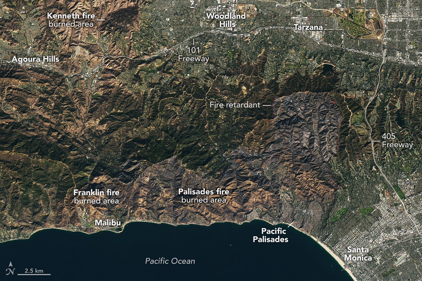
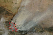
The Palisades fire ignited around 10:30 a.m. on January 7, 2025, near the Pacific Palisades neighborhood of Los Angeles, California. By midday the next day, the fire had grown to over 11,000 acres (44 square kilometers), and after one week, it had consumed nearly 24,000 acres (97 square kilometers) of wildland and developed areas.
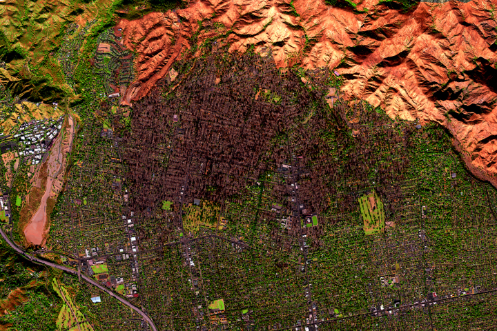
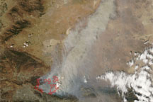
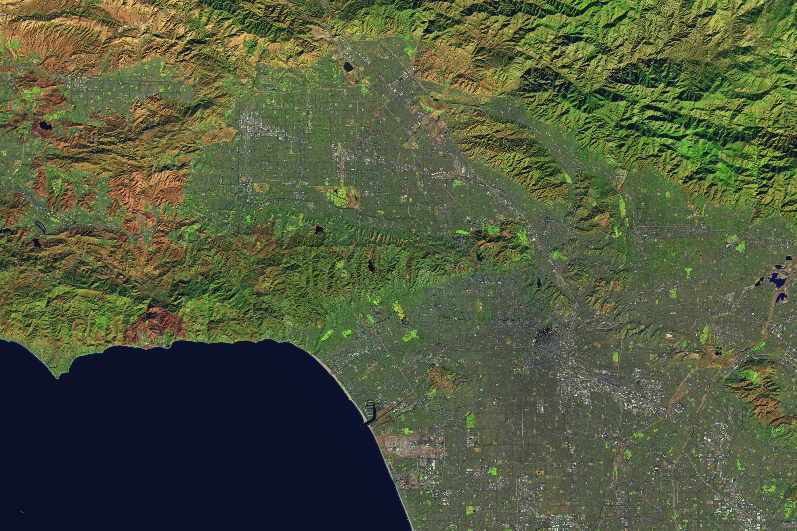
The images above, acquired on January 14 by the OLI-2 (Operational Land Imager-2) on Landsat 9, show the area affected by the fire. In the natural color image (left), visibly charred areas stretch to the north and west of Pacific Palisades. Several lines of bright red or pink fire retardant dropped by aircraft appear along the perimeter of the burned area. (These are more visible in the larger image.)
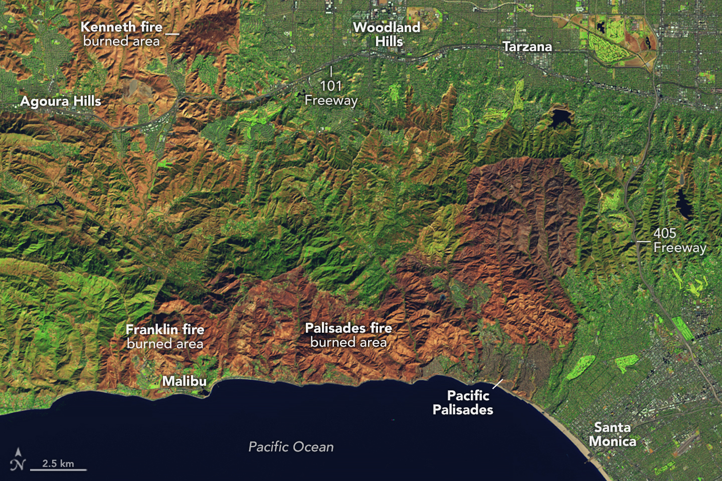
The false-color image (right) combines shortwave infrared, near infrared, and visible components (OLI bands 6-5-3) of the electromagnetic spectrum. This band combination makes it easier to identify unburned vegetation (green) and recently burned landscape (light to dark brown).
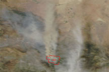
The 1,052 acres (4 square kilometers) burned by the Kenneth fire, which was active January 9–12, appears at the top of both images. This brush fire prompted mandatory evacuation orders, but no structures were damaged by the blaze, according to news reports. Near the coast and adjacent to the Palisades fire’s burned area, land previously charred by the December 2024 Franklin fire remains visible in and around Malibu.
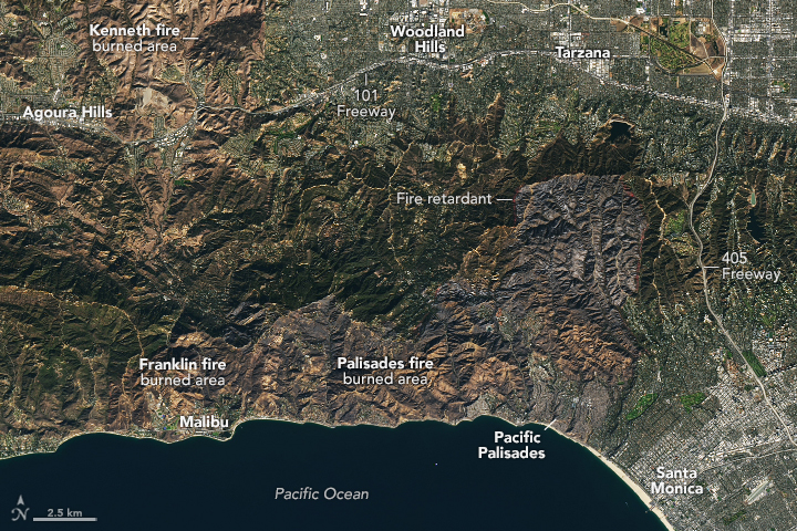
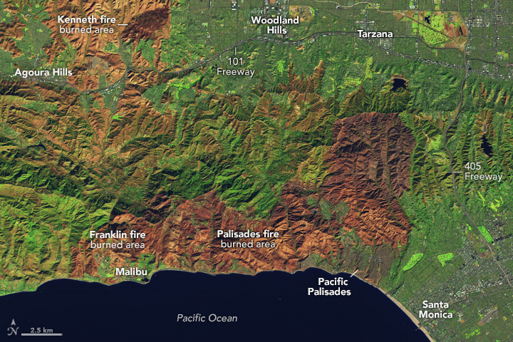
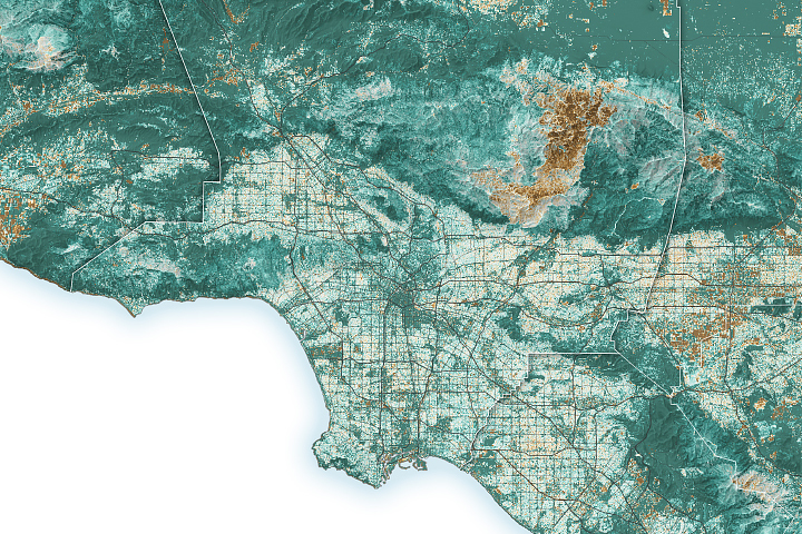
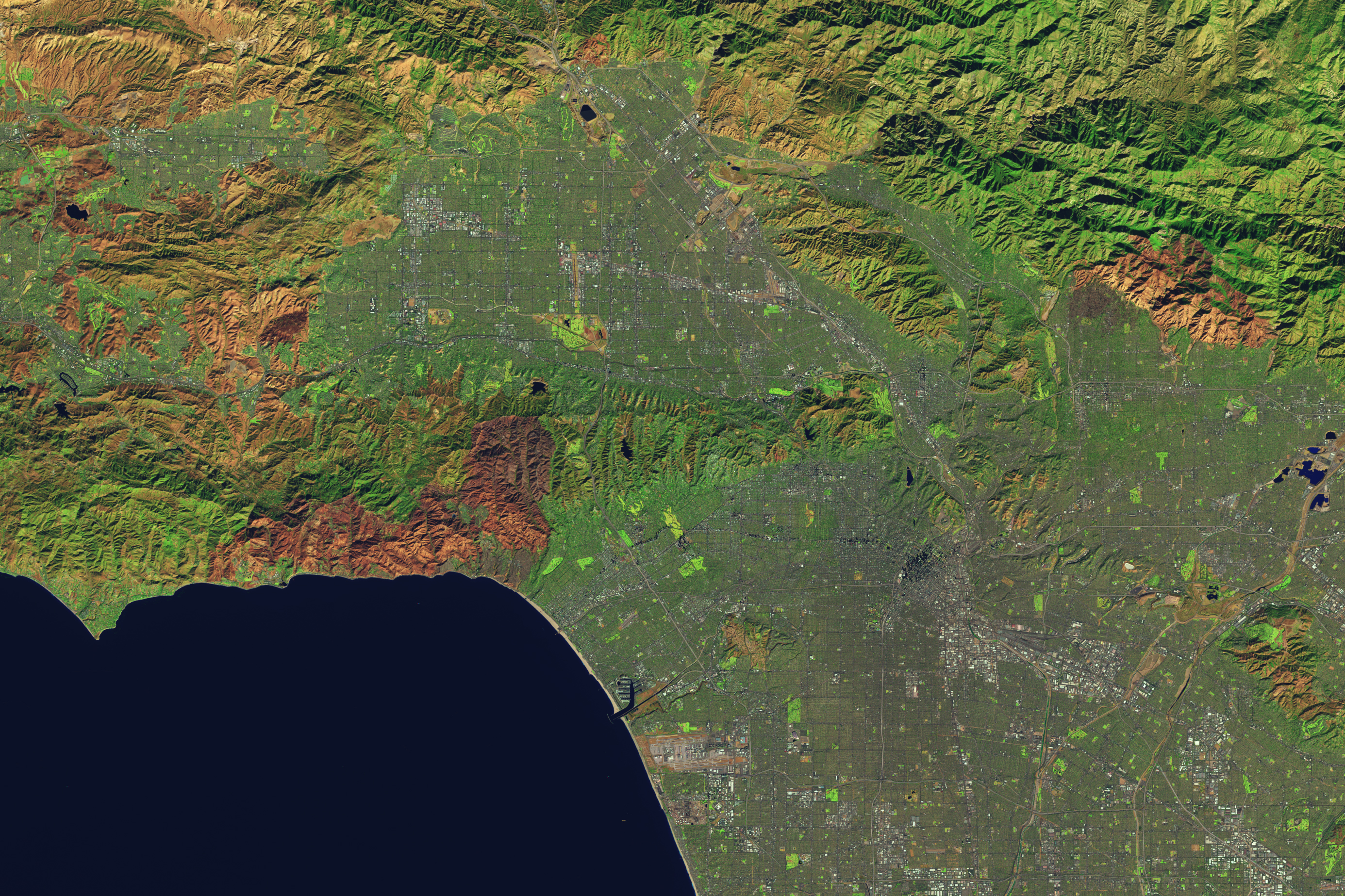
These false-color images provide a more detailed look at the landscape before and after the Palisades fire’s rapid growth. An image acquired on January 6 by the OLI on Landsat 8 (left) shows the older burned area around Malibu, while areas east remained mostly vegetated with several patches of bare ground. Comparing that image with the one acquired on January 14 (right) helps reveal the Palisades fire’s footprint, not only in the more vegetated wildland areas but also in developed zones.
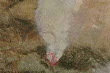
On January 14, the Palisades fire was still considered active, and Cal Fire reported it was 18 percent contained. While the department had not indicated any growth in the fire’s area since January 12, it cautioned that the potential was still there. A red flag warning was in effect through the evening of January 15.
NASA’s Disasters Response Coordination System has been activated to support agencies responding to the fires, including the California Governor’s Office of Emergency Services. Response activities are centered on two primary requests from the local emergency managers: damage assessment information on built infrastructure, and impacts of air quality and human health risks. The team will be posting maps and data products on its open-access mapping portal as new information becomes available.
NASA Earth Observatory images by Lauren Dauphin, using Landsat data from the U.S. Geological Survey. Story by Lindsey Doermann.


