
A major embayment in West Antarctica saw new sea ice growth in autumn 2025 amid older sea ice that had survived the austral summer melt season.
Published Apr 16, 2025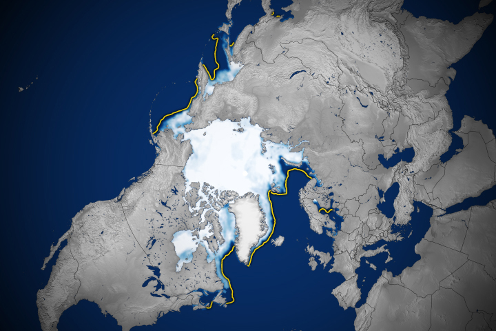
The region’s ice extent on March 22, 2025, was the lowest maximum observed in the satellite record.
Published Apr 4, 2025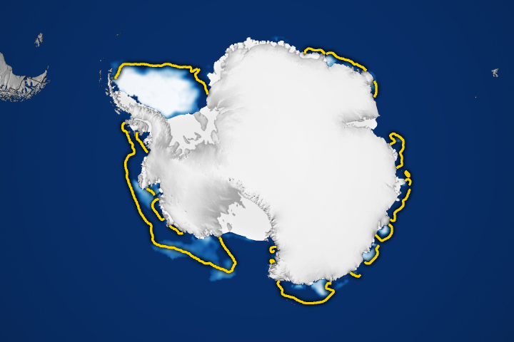
The region’s ice extent on March 1 tied for the second-lowest minimum observed in the satellite record.
Published Apr 2, 2025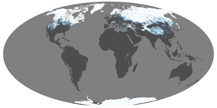
Snow and ice influence climate by reflecting sunlight back into space. When it melts, snow is a source of water for drinking and vegetation; too much snowmelt can lead to floods. These maps show average snow cover by month.
Mar 2000 — Mar 2025
Gateway towns in Wyoming and Montana flank the Rocky Mountains and provide an access point to Yellowstone and Grand Teton national parks.
Published Mar 30, 2025