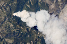
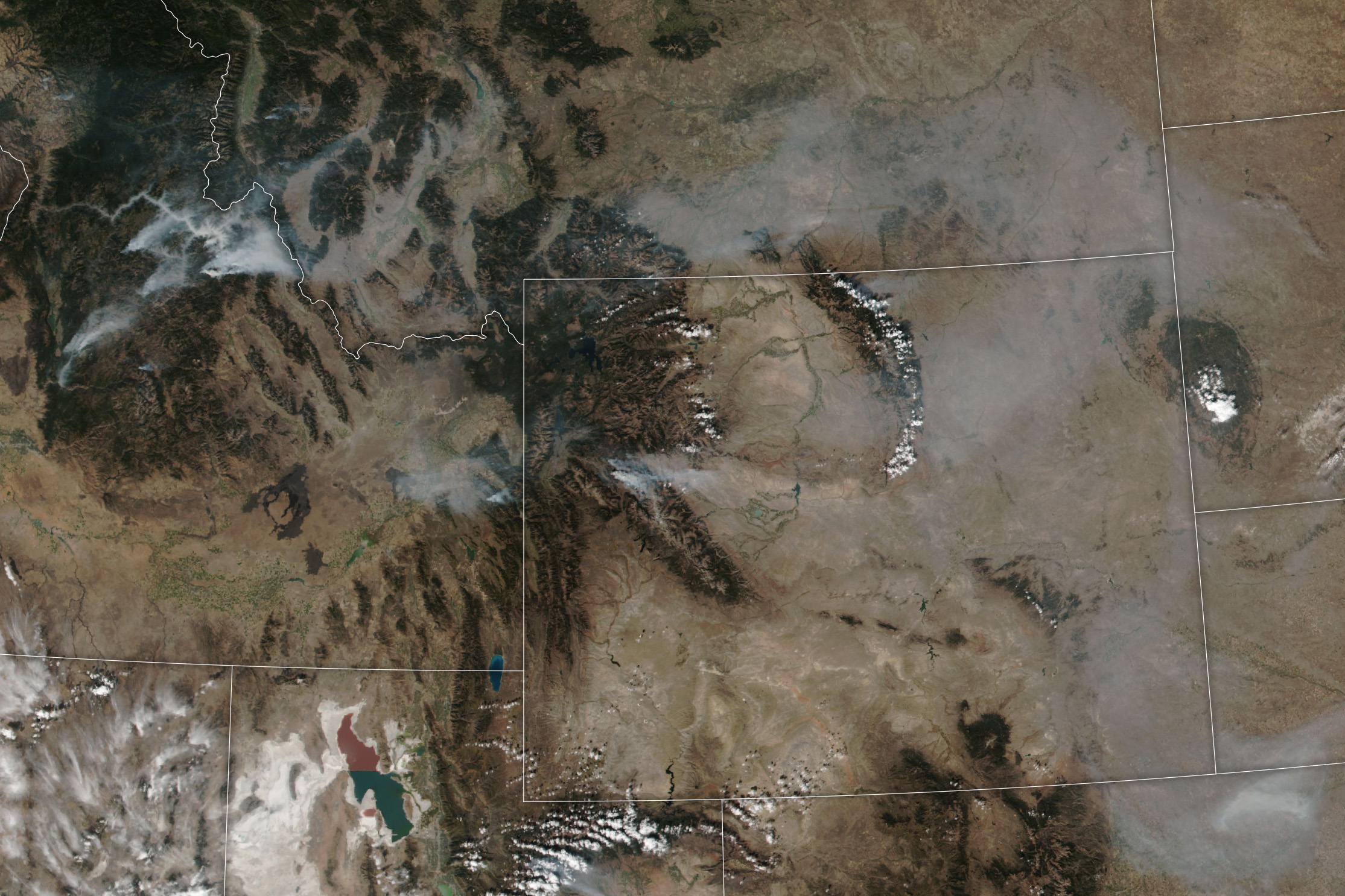
Smoke billowed from a fire in the forests of western Wyoming in early October 2024. High winds and low humidity helped the Pack Trail fire spread over 60,000 acres, forcing people to evacuate from cabins, homes, and ranches west of Dubois, Wyoming, according to local news reports.
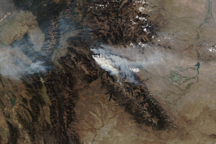
Lightning ignited the fire on September 15, and it continued to burn over three weeks later in both the Bridger-Teton National Forest and the Shoshone National Forest. By October 6, gusty winds of up to 60 miles (97 kilometers) per hour helped the fire spread 7 miles eastward, chewing through timber on the slopes near South Fork Fish Creek. This image, acquired by the MODIS (Moderate Resolution Imaging Spectroradiometer) instrument on NASA’s Aqua satellite, shows smoke streaming from the region on October 7.
Smoke darkened the air of valleys and towns both east and west of the blaze. As it flowed into the valley of Jackson Hole, the smoke prompted hazardous air quality alerts in Grand Teton National Park and elevated air quality concerns elsewhere. In downtown Jackson, 30 miles west of the fire, particulate matter made the air “unhealthy” on October 8 and 9, according to the U.S. Environmental Protection Agency’s AirNow Fire and Smoke Map. To the east of the flames, the smaller town of Dubois also had “unhealthy” air on those days.
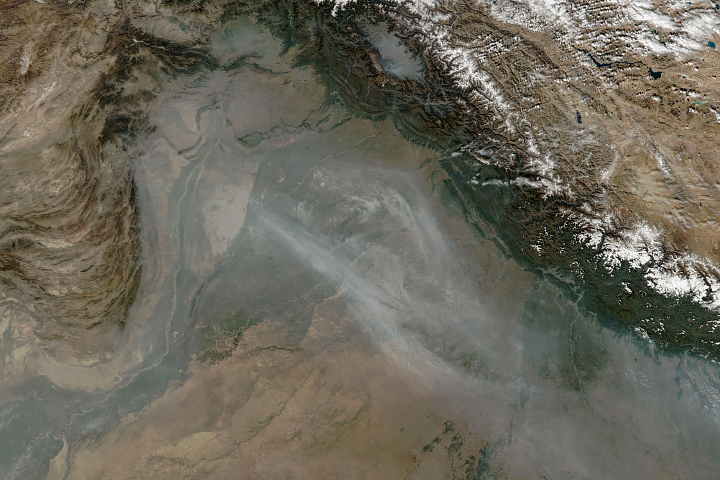
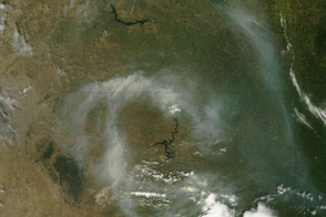
Smoke from multiple fires raging in Idaho can also be seen in the image above, acquired by the VIIRS (Visible Infrared Imaging Radiometer Suite) on the Suomi NPP satellite, which shows a wider view of the region. As of October 9, at least 14 active fires were burning across the state.
Fire season in the western U.S. typically starts in the spring and ends when seasonal winter rains and snow arrive. As of October 9, 2024, the number of fires detected across the country this season has been slightly less than average: 40,000 compared to the 2014-2023 average of 47,000, according to the National Interagency Fire Center. However, the area burned has been greater than average: 7,600,000 acres compared to the average of 6,200,000 acres.
NASA Earth Observatory images by Wanmei Liang, using VIIRS data from NASA EOSDIS LANCE, GIBS/Worldview, and the Suomi National Polar-orbiting Partnership; and MODIS data from NASA EOSDIS LANCE and GIBS/Worldview. Story by Emily Cassidy.