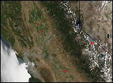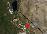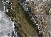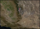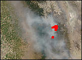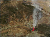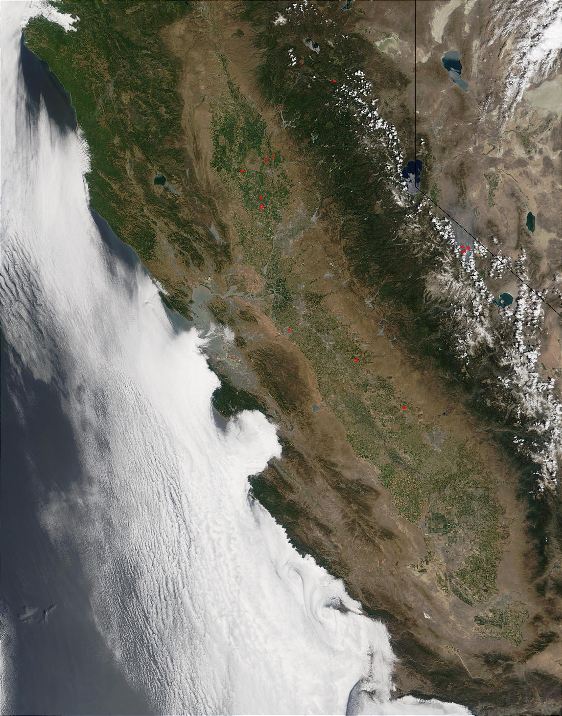
The Moderate Resolution Imaging Spectroradiometer (MODIS) on the Terra satellite detected numerous fires burning in California on June 20, 2002. Along the California-Nevada border, southeast of Lake Tahoe, the Cannon Fire is more than 22,000 acres and is 75 percent contained.
Please note that the high-resolution scene provided here is 500 meters per pixel. For a copy of the scene at the sensor's fullest resolution, visit the MODIS Rapid Response Image Gallery.
Image courtesy Jacques Descloitres, MODIS Land Rapid Response Team at NASA GSFC