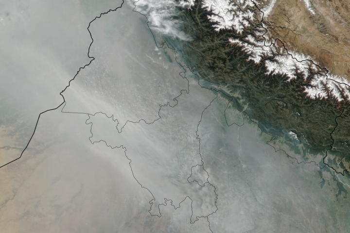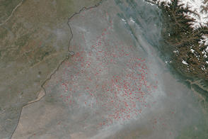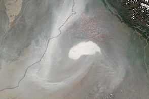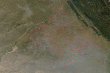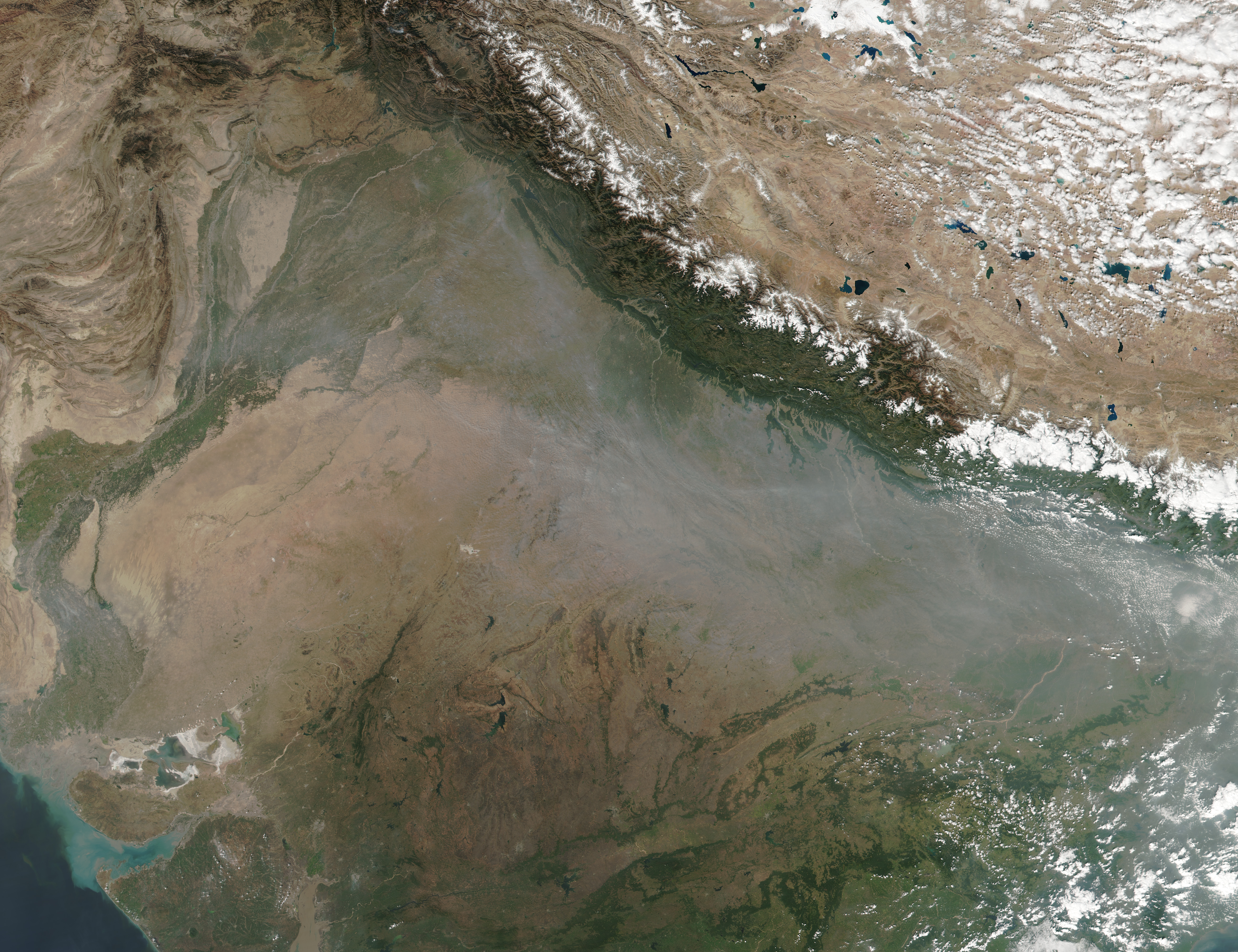
When the Visible Infrared Imaging Radiometer Suite (VIIRS) on the Suomi NPP satellite passed over India on October 25, 2017, there were widespread crop fires in the province of Punjab. In the image above, red outlines show the approximate locations of active burning.
NASA image by Jeff Schmaltz, LANCE/EOSDIS Rapid Response. Caption by Adam Voiland.