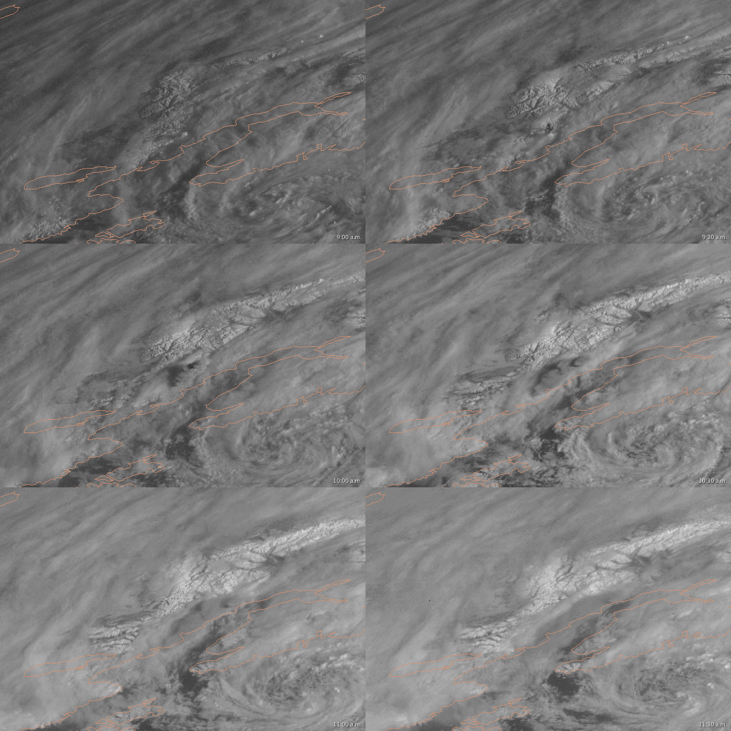


On March 26, 2009, Alaska’s Mount Redoubt erupted, sending a plume of ash and steam to a height of 19,800 meters (65,000 feet) above sea level, according to the Alaska Volcano Observatory. The explosive eruption began just before 9:00 a.m. local time, and the resulting plume shot well above the overlying cloud cover.
The Geostationary Operational Environmental Satellite (GOES) captured a series of images of Mount Redoubt’s activity. This animation shows the region at 15-minute intervals, from 9:00 a.m. to 11:30 a.m. local time. This view of the region looks from the east, with north toward image right. Peach lines show the contours of the land and water. Just west of Cook Inlet, the volcanic plume appears (image center). Shortly after 9:00 a.m., the plume makes its first appearance—a concentrated puffball that casts a shadow on the surrounding clouds. As the minutes and hours pass, the plume dissipates and blows toward the north.
A few days earlier, similar wind patters carried ash from Redoubt toward settlements north of Anchorage.
Animation by Robert Simmon, based on data provided by the GOES Project Science office. Caption by Michon Scott.