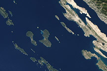
The Channel Islands off the coast of California earned the nickname “the Galapagos Islands of North America” because, like the islands off Ecuador, these islands support a large diversity of plants and animals within a relatively small area. Many species, including the charismatic island fox, are found nowhere else on the planet.
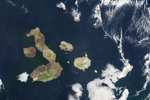
Of the archipelago’s eight islands, five are part of Channel Islands National Park. The park’s four northern Channel Islands span about 60 miles (100 kilometers) of the Pacific Ocean within the Santa Barbara Channel. Santa Barbara Island, the park’s fifth and smallest island, lies to the southeast.
The VIIRS (Visible Infrared Imaging Radiometer Suite) on the NOAA-20 satellite captured this image (above) of the park’s five islands on March 18, 2025.
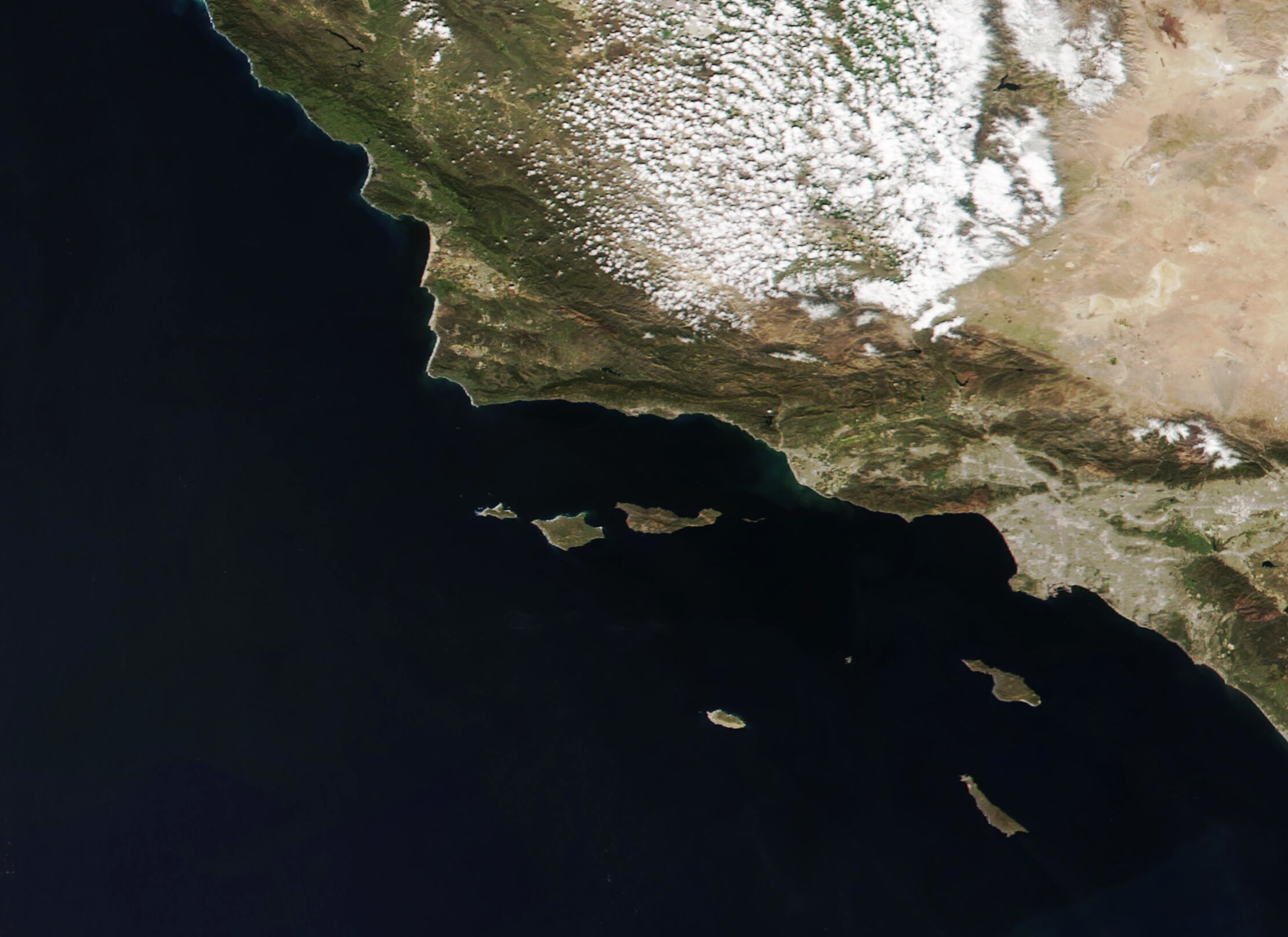
Though very little water separates the park’s northern islands, each one has some unique characteristics. Several such features are shown in the detailed images below, acquired that same day by the OLI (Operational Land Imager) on Landsat 8.
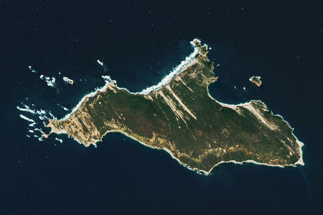
San Miguel Island is the farthest from Ventura, a popular launching spot for trips to the islands and the location of one of the park’s visitor centers. (There is another visitor center on the mainland in Santa Barbara.) The 70-mile (113-kilometer) trip, however, might be worth the effort for some intrepid visitors. Point Bennett on the island’s westernmost side displays a windswept landscape of sand and vegetation. Its beaches are the site of one of the largest rookeries for pinnipeds—mammals such as seals, sea lions, and walruses—on the western coast of North America.
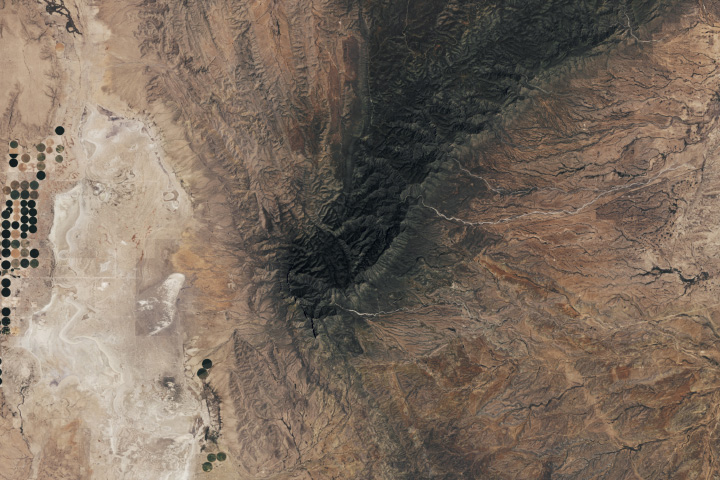
The next island to the east, Santa Rosa, lies 40 miles from Ventura. Cloud forests—groves of tall oaks and pines that harvest water from the area’s heavy fog—were once common on the island. Though fragments remain, such as on the slopes of Black Mountain, most of these forests were decimated by grazing in the 19th and 20th centuries. The national park, U.S. Geological Survey, and partners have been making efforts to restore native vegetation and help the forests begin to recover.

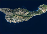
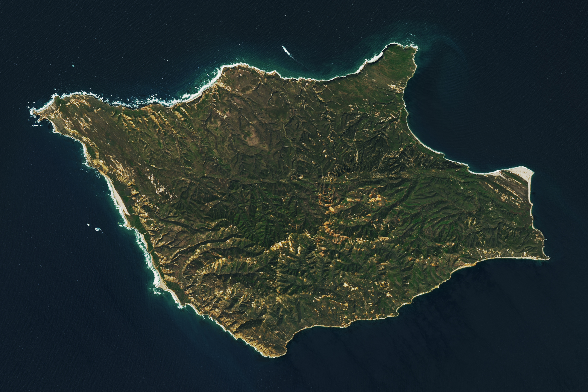
East of Santa Rosa lies Santa Cruz Island, just 20 miles from Ventura. This island is the park’s largest, spanning 96 square miles, and includes Diablo Peak, the park’s tallest mountain (2,450 feet/750 meters). With all this land area—three times the size of Manhattan—there’s ample space for unique plants and animals. More than 60 species are only found here, the largest number of endemic species of any of the Channel Islands. A major draw to this island, however, lies along its perimeter. At the western end of the island’s north side, visitors will find the entrance to Painted Cave, one of the planet’s largest-known sea caves.
Anacapa Island is the closest to the California mainland and just 14 miles (23 kilometers) from Ventura. Still, as with travel to any of the islands, getting there takes some extra planning; visitors can only access the islands via boat. Park concessionaire boats offer transportation to several of the islands year-round and others on a seasonal basis. Once there, visitors usually tour the islands on foot or by kayak.
NASA Earth Observatory images by Lauren Dauphin, using MODIS data from NASA EOSDIS LANCE and GIBS/Worldview and Landsat data from the U.S. Geological Survey. Story by Kathryn Hansen.