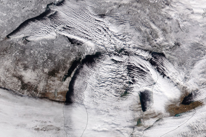
Despite global temperatures being well above normal in the third week of February 2025, a blast of frigid Arctic air spilled south across Canada into the central and eastern United States. The cold air came on the heels of a winter storm that pushed east across the Great Plains, Southeast, and Mid-Atlantic, bringing heavy snowfall to parts of Kentucky, West Virginia, North Carolina, Maryland, and Virginia.
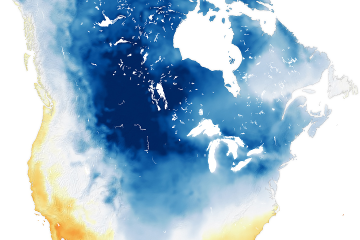
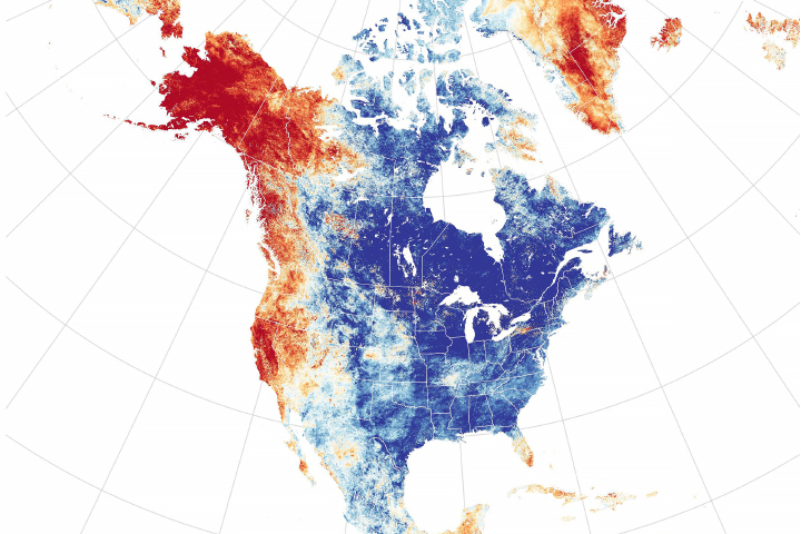
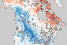
This map shows the extent of the cold snap on the morning of February 19. It was derived from the GEOS (Goddard Earth Observing System) model and represents air temperatures at 2 meters (about 6.5 feet) above the ground. The darkest blue areas are where the model indicates temperatures dropped to minus 22 degrees Fahrenheit (minus 30 degrees Celsius) or lower.
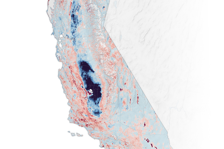
In Antelope Creek, North Dakota, the National Weather Service reported a daytime low of -45°F (-43°C) on February 18. That same day, record-breaking cold hit both Bismarck and Minot, also in North Dakota, where temperatures plunged to -39°F and -33°F, respectively. Broad swaths of the Lower 48 faced temperatures that plummeted as much as 30-40°F below average for the time of year, according to news reports. National Weather Service offices issued cold weather advisories and extreme cold warnings for more than 93 million Americans, including people in Florida and Texas.
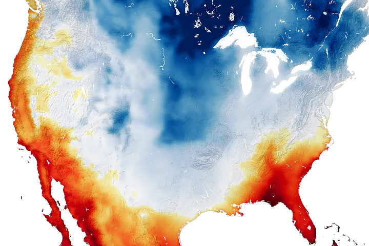
The cold and snow in the United States came amid a period of unusual warmth in the Arctic. Arctic sea ice extent was at record lows for February, while temperatures in parts of Greenland and the Northwest Territories in Canada were running 15-30°F above average. Some researchers think that Arctic warming may contribute to cold weather outbreaks in the mid-latitudes by altering the polar vortex and the behavior of the jet stream, though meteorologist Bob Henson reported in Yale Climate Connections that “vigorous scientific debate” continues about this idea.
NASA Earth Observatory image by Michala Garrison, using GEOS-5 data from the Global Modeling and Assimilation Office at NASA GSFC. Story by Adam Voiland.