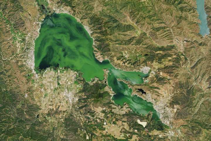
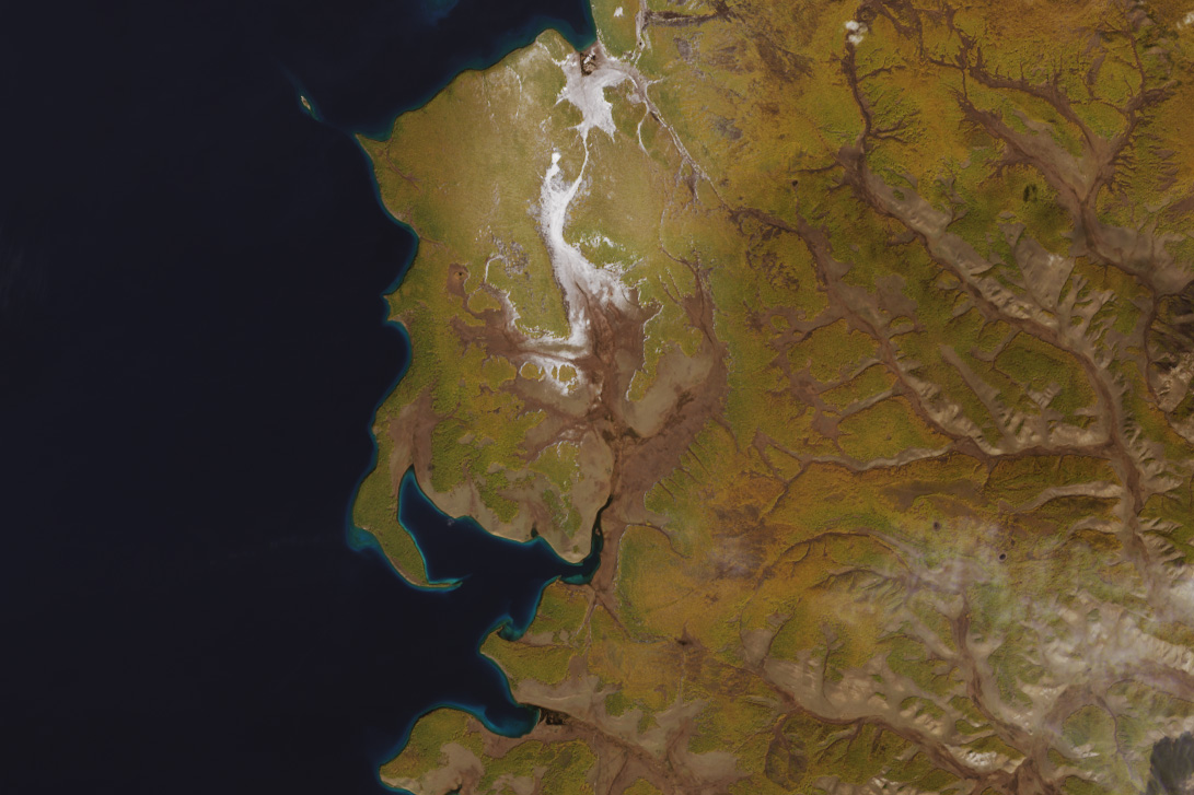
Autumn arrived in a blaze of color in north-central Mongolia. The montane forests surrounding Lake Hövsgöl, the country’s largest lake by volume, took on golden hues in late September 2024, while high mountain ridges nearby sported a layer of bright white snow.
At an elevation of 1,645 meters (5,397 feet), Lake Hövsgöl (also known as Khuvsgul and Khövsgöl) sits at the foot of the eastern Sayan Mountains, near the border with Russia. Along with shrubs and grasslands, forests consisting primarily of Siberian larch (Larix sibirica) blanket the hills around the lake. Larches are deciduous conifer trees, meaning that they have cones and needles like conifers, but they change color and drop their needles in the fall like deciduous trees.
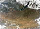
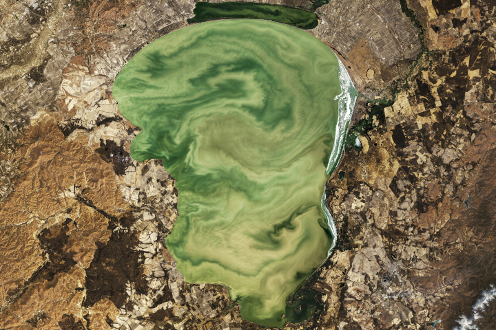
The result of this seasonal transformation was captured by the OLI (Operational Land Imager) on Landsat 8 on September 26 (above, right). For comparison, an image acquired about one month earlier by the OLI-2 on Landsat 9 (left) shows much greener vegetation.
Lake Hövsgöl, which has existed for over 2 million years, is one of the world’s ancient lakes. It measures approximately 137 kilometers (85 miles) from north to south and is an important water resource for Central Asia, holding about three-quarters of Mongolia’s freshwater. Researchers have described the lake as “near-pristine,” with minimal development in its watershed. Its waters are oligotrophic, or low in nutrients, and very clear. The only outlet from Lake Hövsgöl ultimately feeds into the much older and larger Lake Baikal, about 200 kilometers (125 miles) to the east.
Fall is a relatively short season in this part of northern Mongolia. Ice can start to form on Lake Hövsgöl as early as November and persist into June. Reaching thicknesses up to 1.5 meters (5 feet), the ice once supported truck routes across the lake. Driving on the ice has been prohibited for decades due to environmental concerns, and efforts are underway to retrieve vehicles that sank while attempting the crossing.
NASA Earth Observatory images by Wanmei Liang, using Landsat data from the U.S. Geological Survey. Story by Lindsey Doermann.