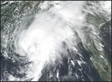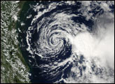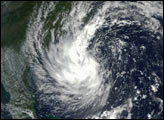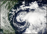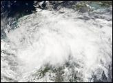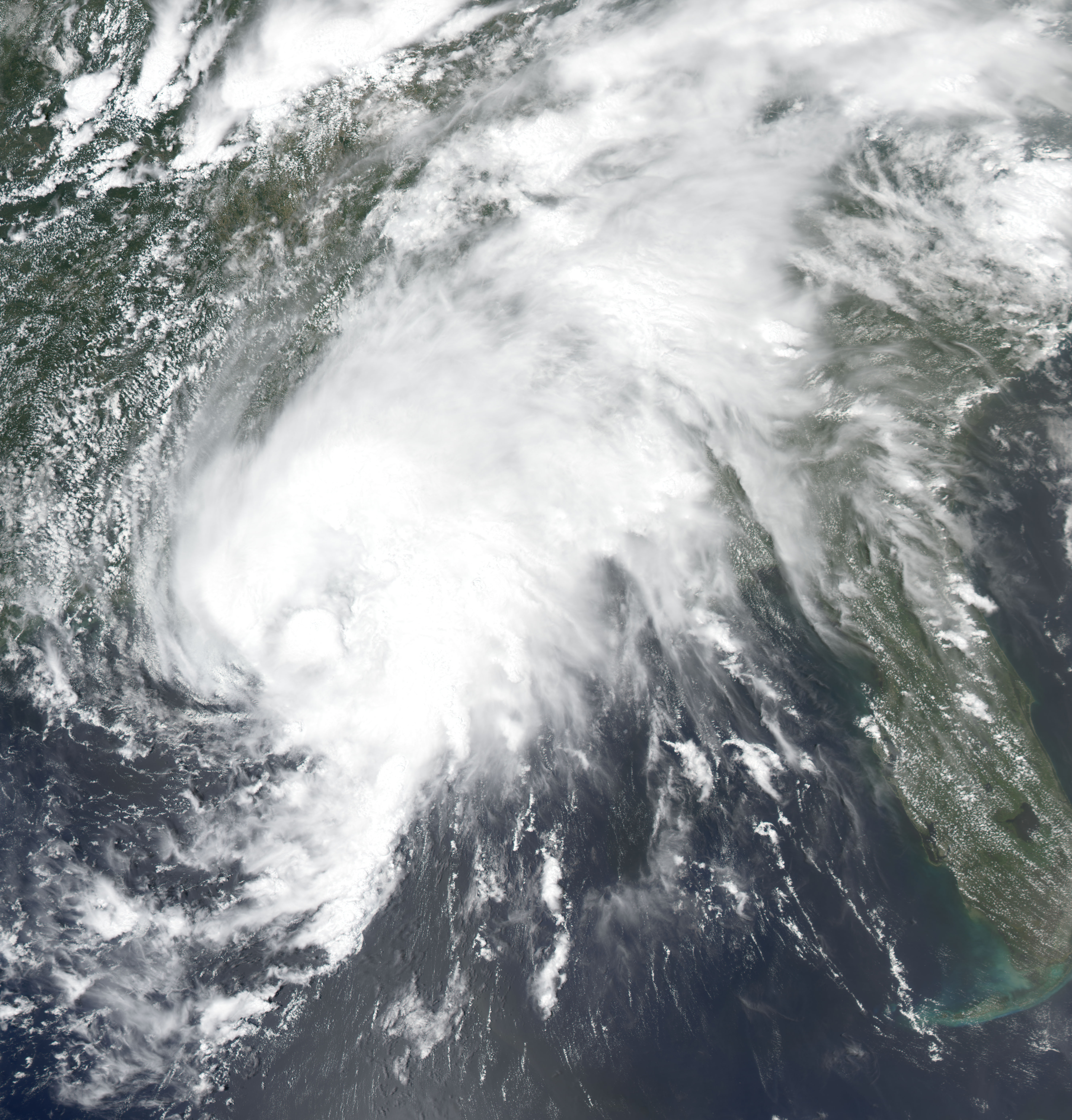
This Moderate Resolution Imaging Spectroradiometer (MODIS) image from the Aqua satellite shows Tropical Storm Bill making landfall over the Gulf Coast of the United States. The storm may look a bit disorganized, but the threat of heavy rains, tornados, and flooding persisted for parts of the South, East and Mid-Atlantic regions of the U.S. on July 1, 2003.
Image courtesy Jesse Allen, based on data from the MODIS Rapid Response Team at NASA GSFC